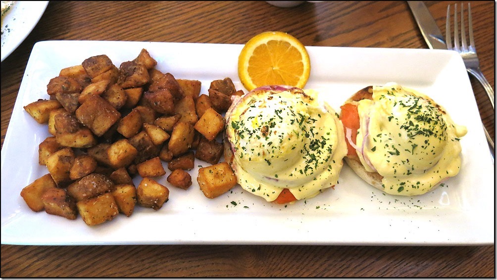
We all slept great last night and were up in the restaurant at 7:30am when they opened. We have developed a pattern of being the first ones at breakfast!!!
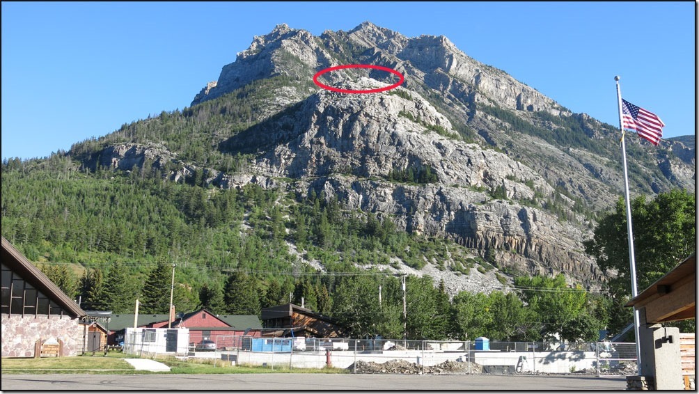
Right outside of our hotel was a good view of the Bear Claw lookout I hiked up to yesterday.
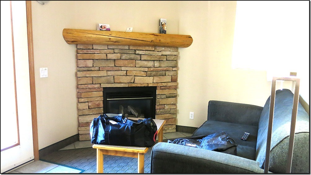
Greg had his own room last night with fireplace in his living room . . .
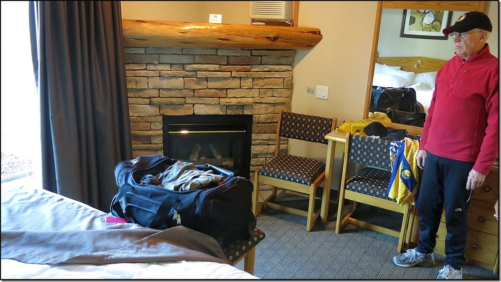
. . . and a fireplace in his bedroom. Plus a Jacuzzi tub!!!
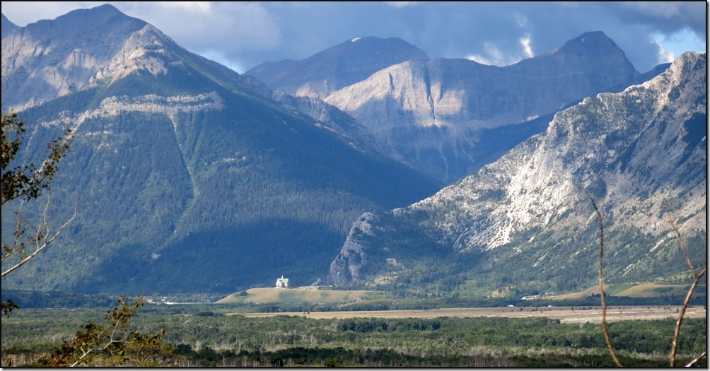
We rolled out of the Waterton Valley and began a 5 mile, 8.5% average grade, ride towards the US border. Looking to the west there was a good view of the Prince of Wales hotel.
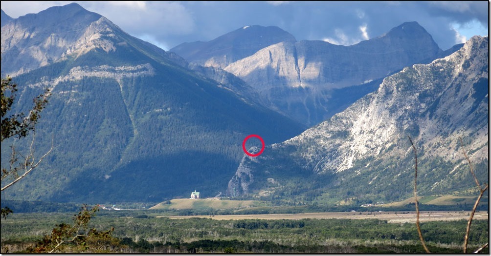
. . .and there was the Bear Claw lookout point again. Doesn’t seem quite that high when compared to the mountains around it!!!!
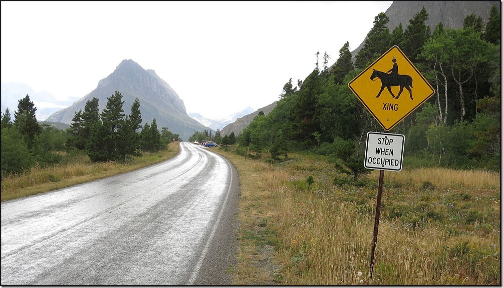
Yippee . . . real cowboys????
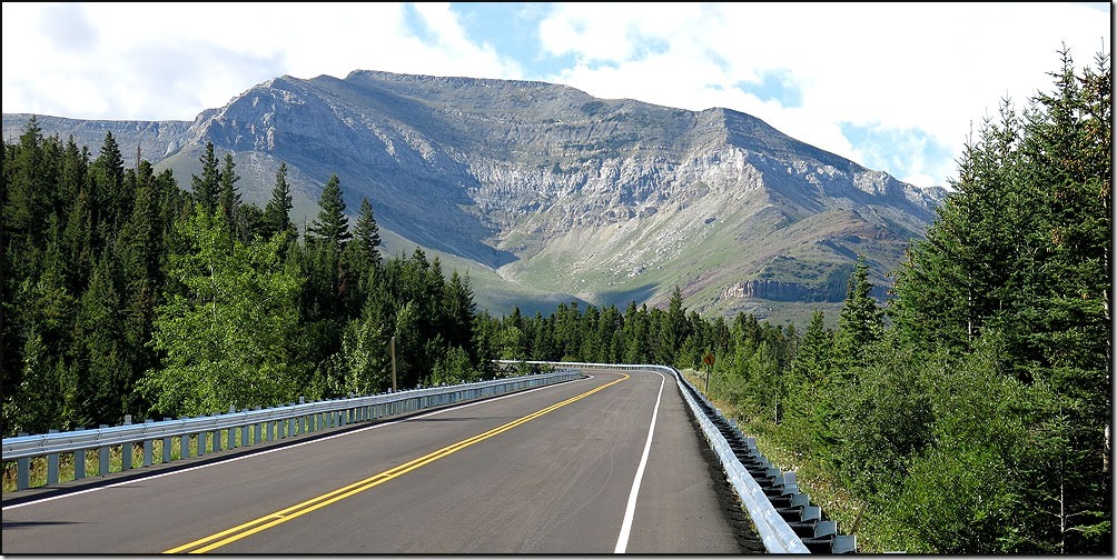
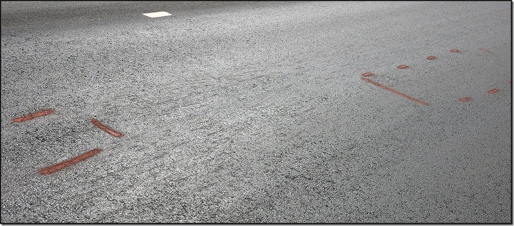
The climb seemed to go on forever and at such a slow speed one has PLENTY of time to look around and take in the scenery. I was also admiring the new roadbed. Very nice!!!!
In fact, the crews who had laid it were already out looking for areas that needed to be repaired . . .
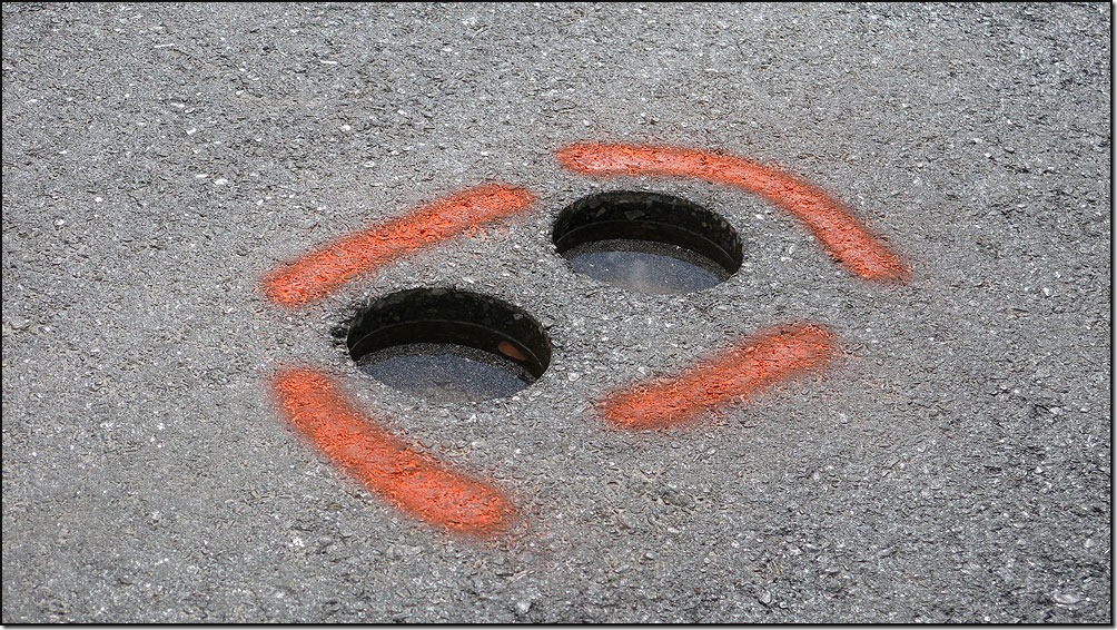
. . . they also take core samples every kilometer to send in for analysis.
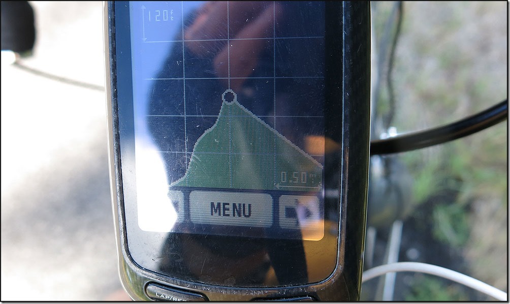
As you can see on my Garmin, the black dot being me, I had just ascended Mt Everest, starting from the left side of the screen, I was ready for one nice downhill. Banzaiii!!!!
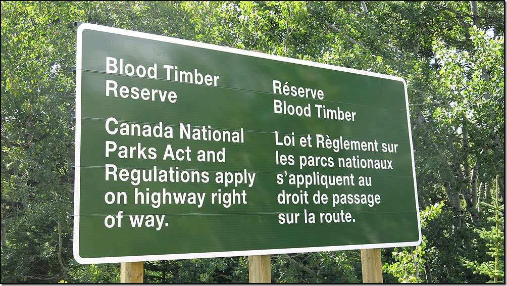
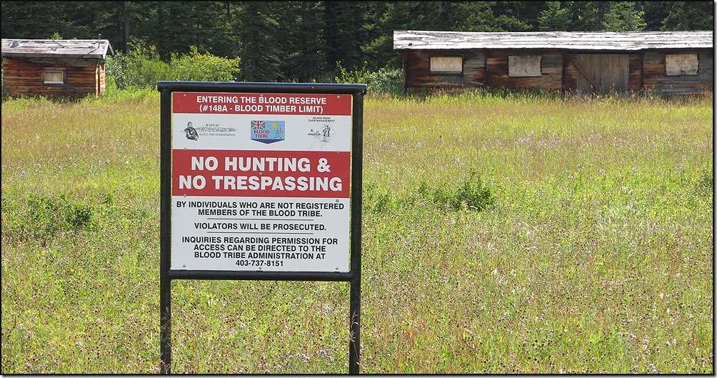
We passed out of Waterton National Park and into the Blood Indian Reservation. The Canadian government deeded 4,300 acres to the tribe to use as a timber bank.
. . . and it is ONLY for tribal members.
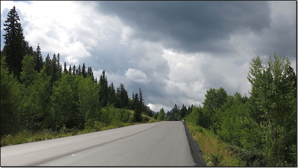
As I made the final climb back up to the US border, the weather started looking a little UGLY!!!!
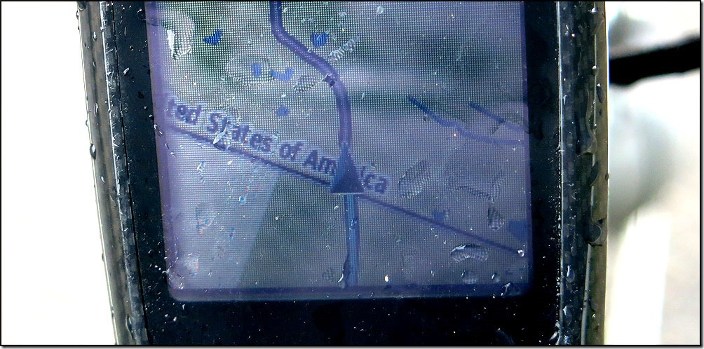
Soon I was across the border, as my trusty Garmin indicated . . .
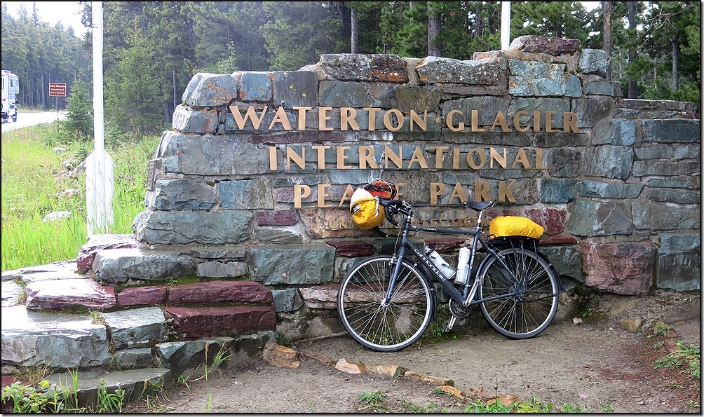
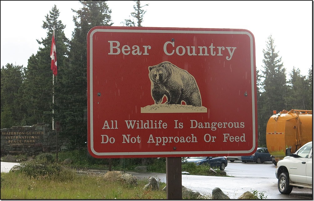
The plaque at the border signifying the joint Peace Park designated between Canada and the United States.
Once again, another good change to see a BEAR. I’m still zero for zero!!!!
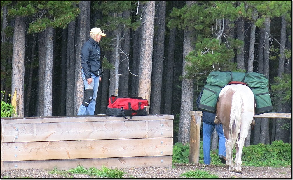
Right near the birder station there was an outfitter getting ready to head out into the bush.
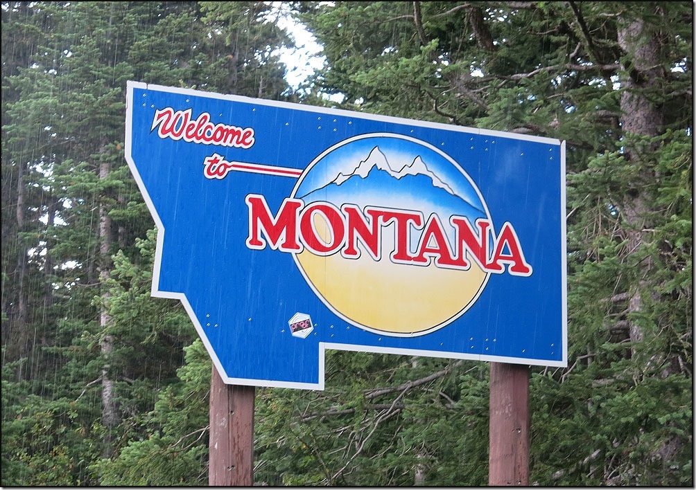
I no more passed this Montana State border sign and it started to rain. It would rain for the rest of the day, sometimes so hard I had to squint between the top of my sunglasses and the visor on my helmet to see the road. NOT FUN!! It was about here that it started to hail on BillyyB and me. The hail looked like popcorn bouncing off the road shoulder.
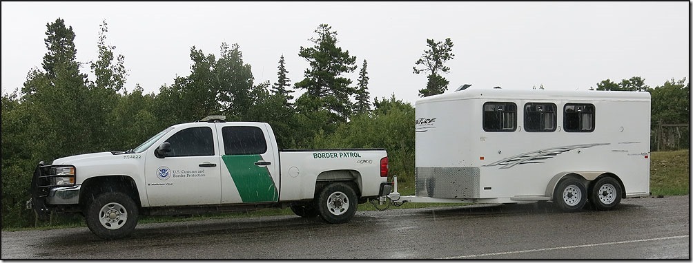
Wasn’t long before I saw this Border Patrol officers rig who was out patrolling out on horseback. Haven’t seen one on these since our Southern Tier ride along the US/Mexico border.
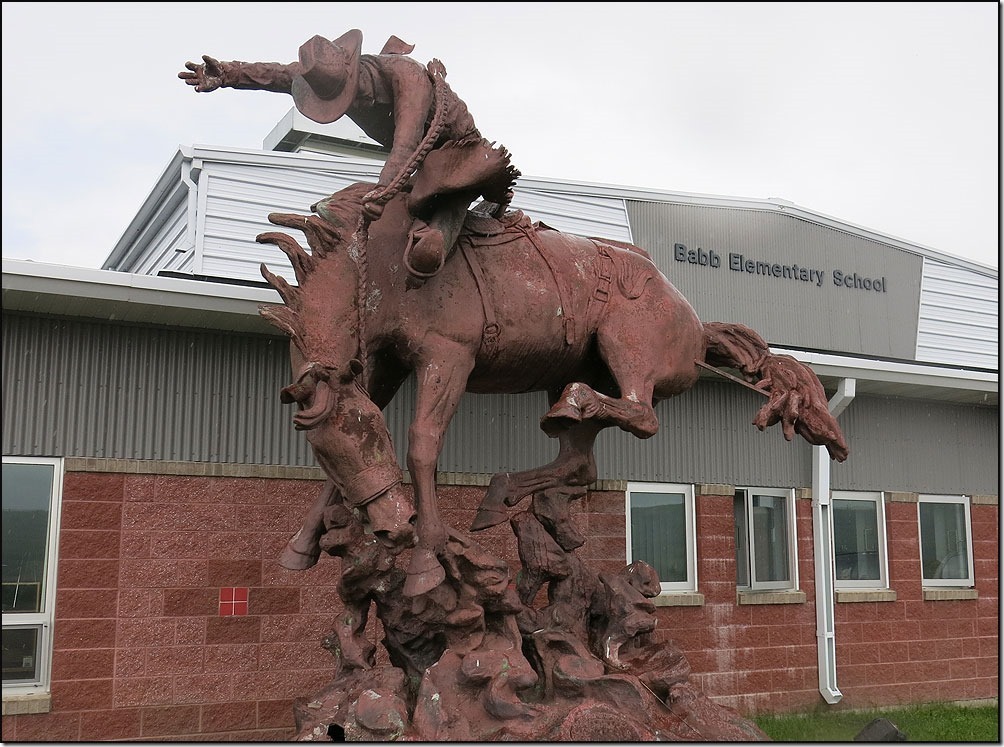
We descended out of the mountains on a really sweet downhill that took us into the small burg of Baab. Not much there, but they had a GREAT statue outside one of their schools!!
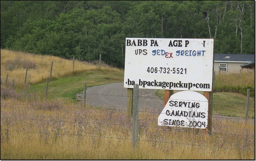
I’ve heard about these FedEx depots along the border. Canadians have parcels sent to these private depots near the border and then drive down to pick up their packages. Evidently delivery time to Canada is dreadfully slow because of Canadian customs. Must want them to shop locally!!!!
Off the reservation and back in the Park at Many Glacier . . .
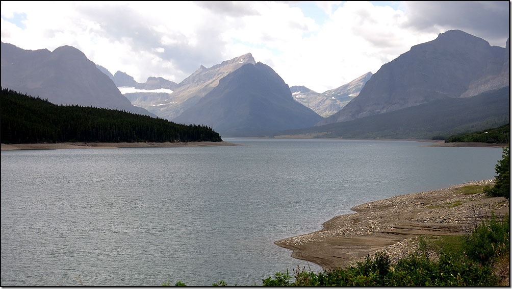
. . . cycling along a 12 long mile road paralleling Lake Sherburne
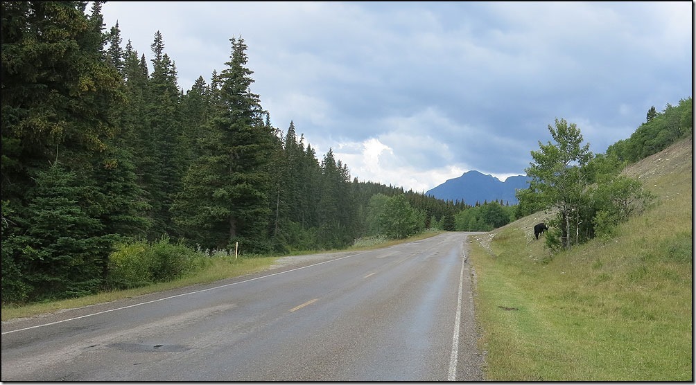
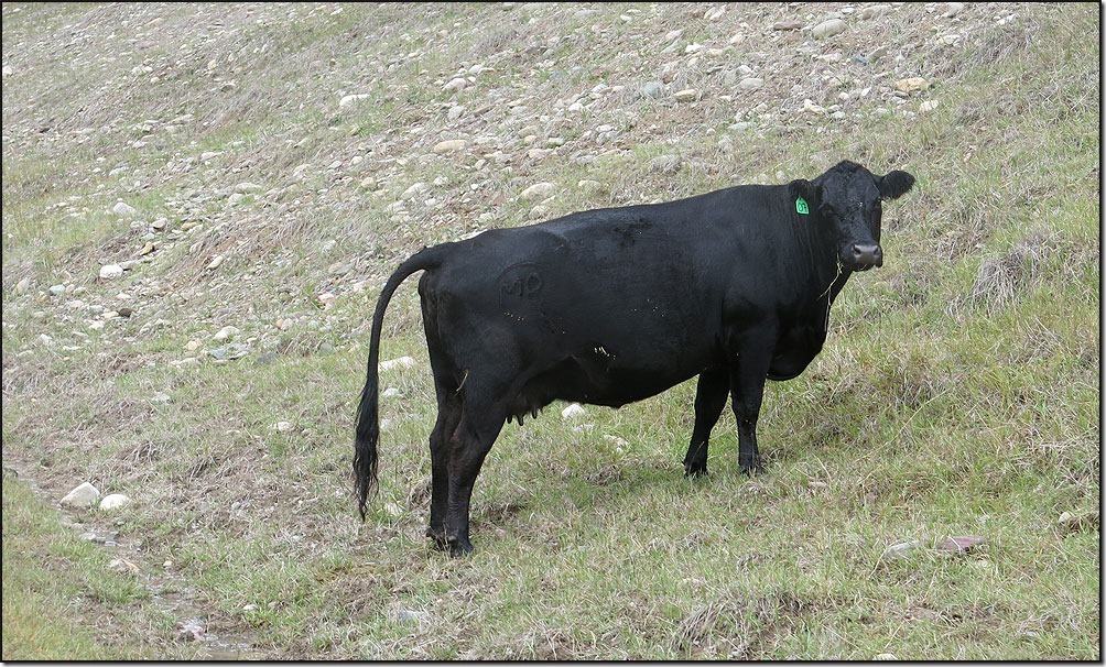
. . . as I looked ahead I saw something black . . .could it FINALLY be a bear . . .
NO!!!!!!!!!!!
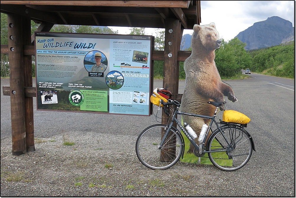
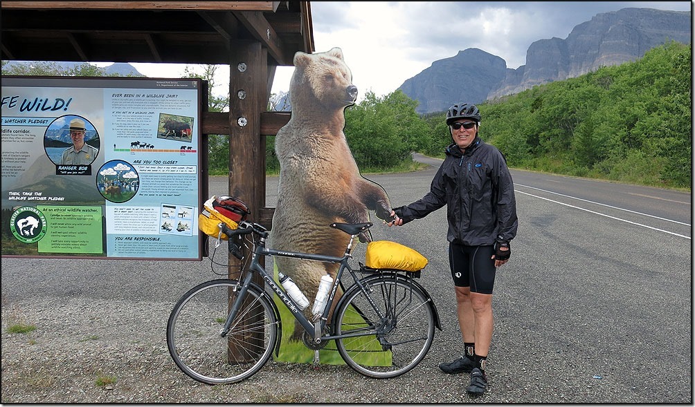
BUT . . . I finally did see one on the side of the road . . .
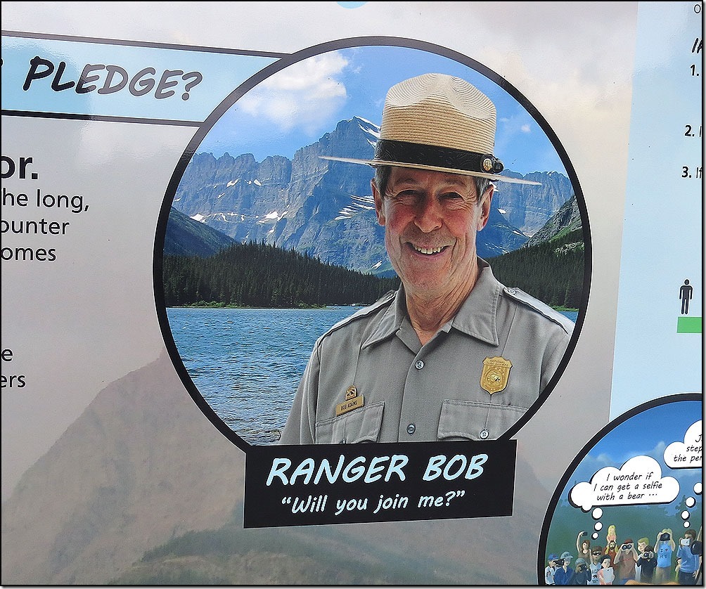
As Ranger Bob (who used to work at Lake Kegonsa State Park in WI) explained in his chart. . .
. . . one should give a bear a WIDE berth . . .
I was so excited to see one, I shook his paw!!!
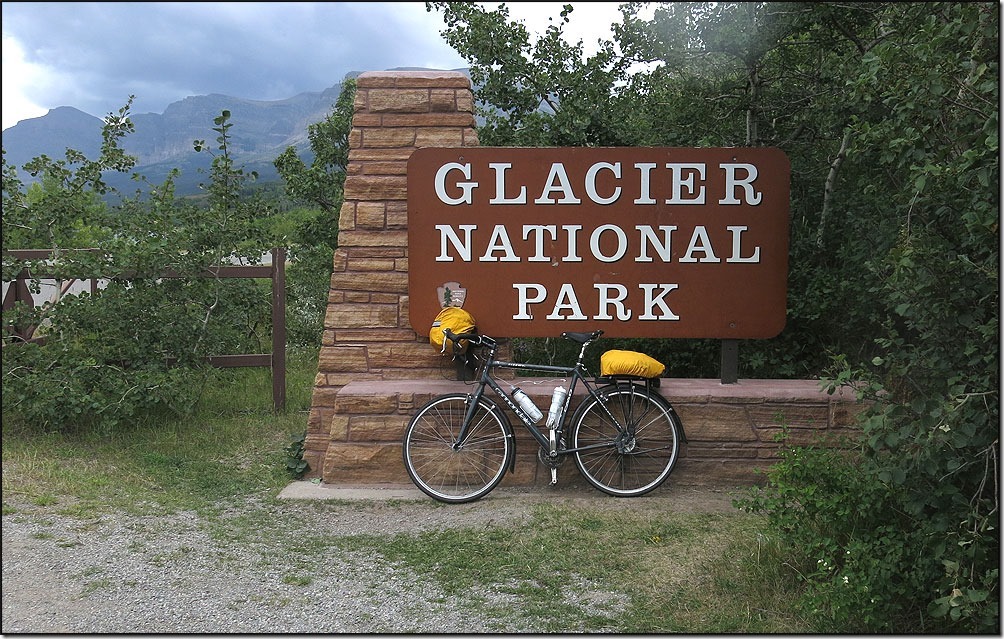
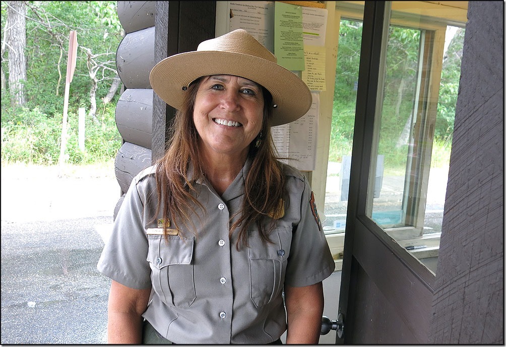
Soon I rolled through the park entrance and had a nice chat with Ranger Linda about the new road construction that will be started next year and take three years to complete!!! Hopefully the Park Service will use the same road standards their Canadian cousins do.
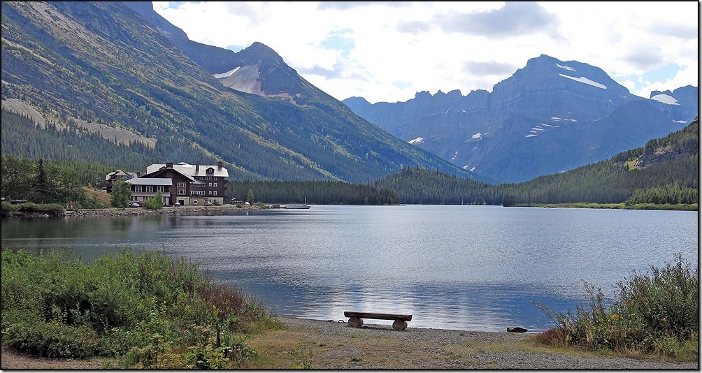
I rolled into Many Glacier in between rain storms. Very pretty setting with . . .
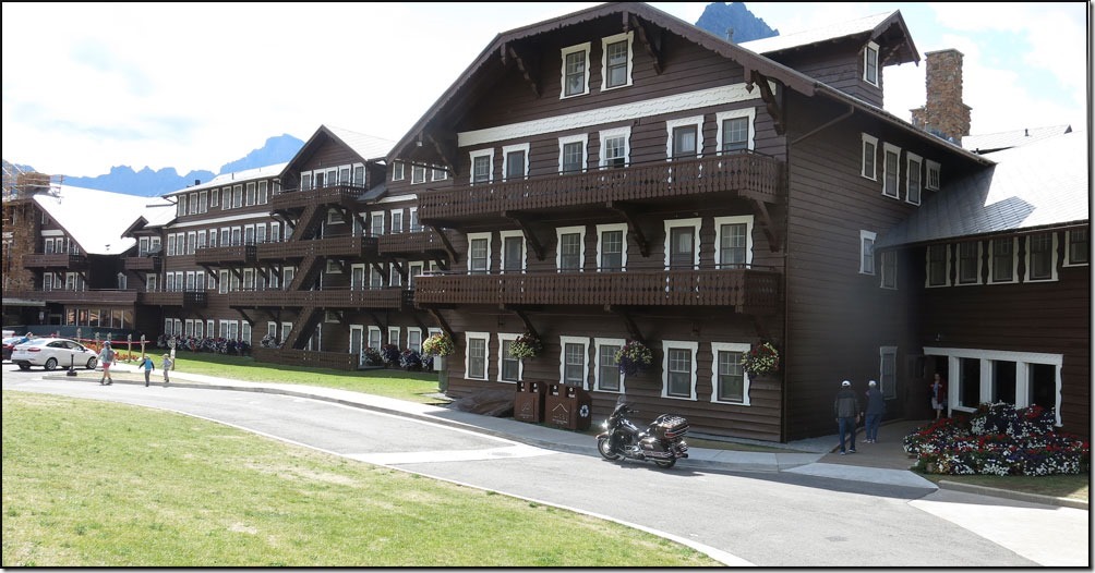
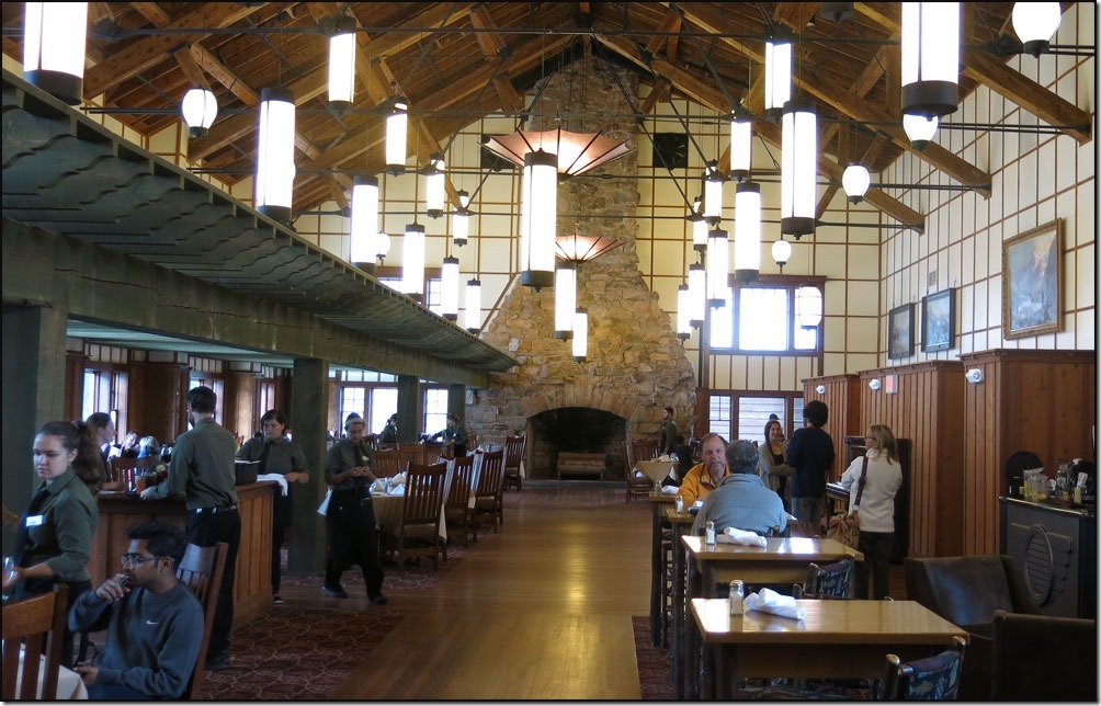
. . . a big, old lodge, full of tourists!
Nice dining room!
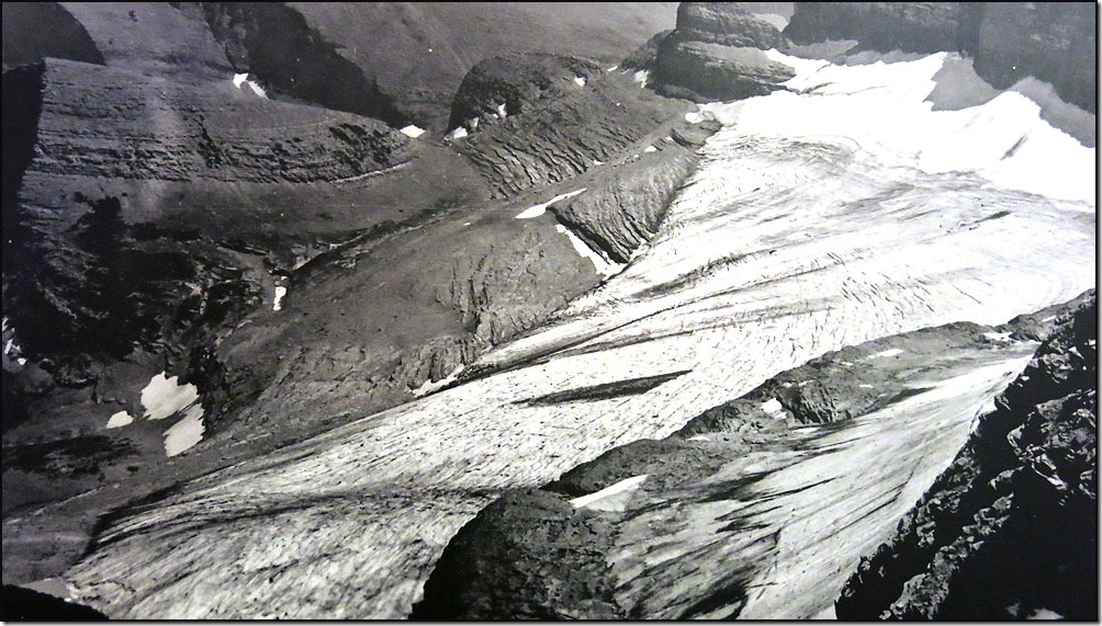
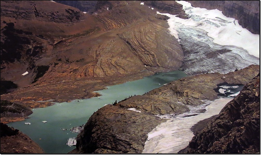
They had a great photo display of how the glaciers are disappearing. This is one of probably twenty photos they had of various glaciers that have all melted. The shot above is from 1903 . . .
The same vantage point is from 2012!!!

